
.jpg "Xem xét quy hoạch phân khu xây dựng khu công nghiệp Đại An mở rộng")
")


.jpg "The last household handed over land to implement the Nam Khe residential area project (Nam Sach)")
.jpg "Pilot implementation of commercial housing projects from April 1, 2025")


.jpeg "Hanoi has 189 more measles cases in the past week")


.jpg "5,000 Japanese audiences excited for the 'Brothers Overcoming a Thousand Thorns'")

.jpg "Domestic gold price continues to climb, surpassing 102 million VND per tael")


Submit a comment
Zoning plan 3A - Lien Hong area is the foundation, shaping the development of the southwestern gateway of Hai Duong city.
Gateway position
The 1/2,000 scale zoning plan for Lien Hong area 3A has just been approved by the Provincial People's Committee. This plan aims to specify the Hai Duong Provincial Planning for the period 2021-2030, with a vision to 2050, the Adjustment of the General Planning of Hai Duong City to 2040 and the city's socio-economic development orientation. According to the general planning, this area will develop a new urban area worthy of the southwest gateway of a type I urban area.
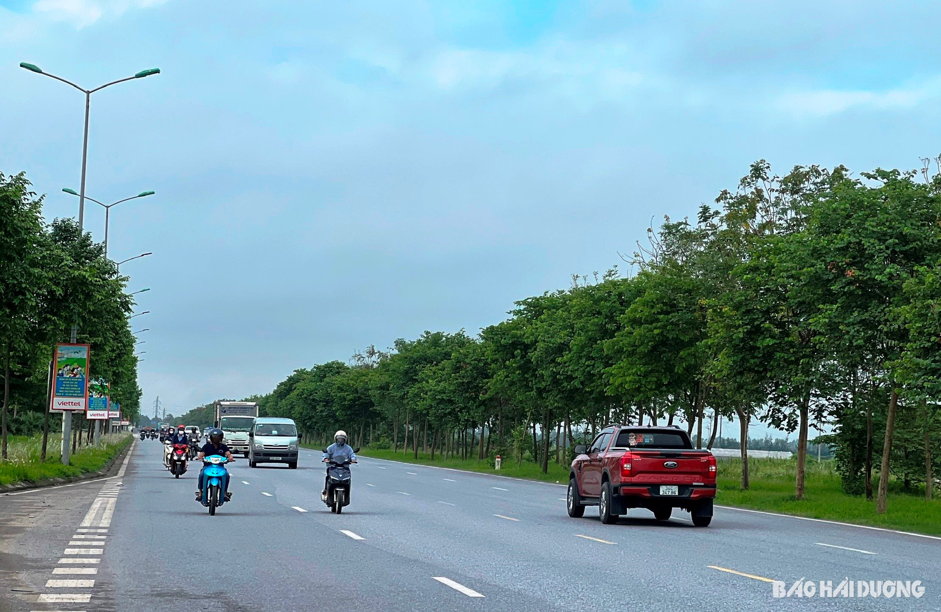
In 2019, Lien Hong commune was merged into Hai Duong city to expand the space for a type I urban area. Therefore, the planning not only creates synchronization and harmony with other areas of the city, but this place also has an important position as the gateway from the Hanoi-Hai Phong expressway to the city center.
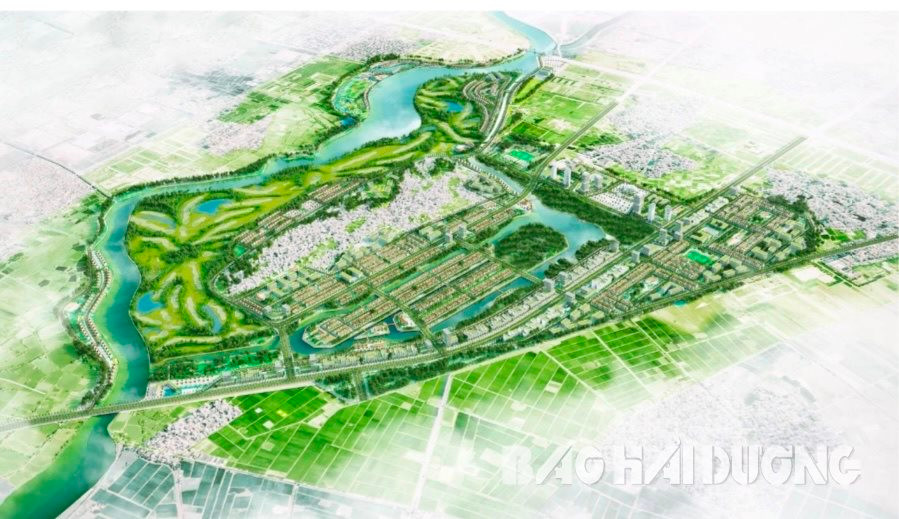
Sub-zone 3A - Lien Hong area has a research scale of more than 880 hectares, with a forecast population of about 48,500 people. This area borders the Sat River (Tu Minh ward) to the north, Gia Loc district to the south, Cam Giang and Gia Loc districts to the west, and Vo Nguyen Giap Avenue to the east (through Thach Khoi, Lien Hong and Gia Xuyen communes and wards). The southwestern gateway of Hai Duong city will develop public, commercial, service, cultural, physical education, sports, educational, medical, housing and urban facilities functional areas.
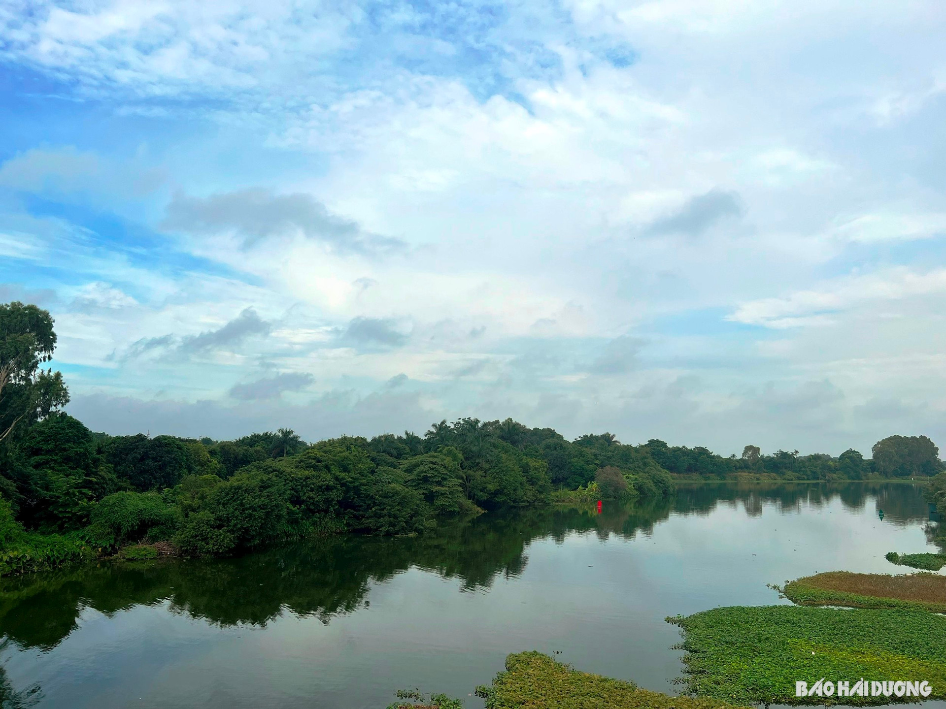
The planning of area 3A - Lien Hong subdivision aims to renovate and embellish the existing area, natural landscape associated with the construction of new functional areas on the basis of synchronous connection with the general technical and social infrastructure system. From there, exploiting the position of the southwestern gateway of the city, building an important traffic hub and forming an ecological urban area with high community awareness. Not only that, the planning of this area also controls the architecture and landscape south of the Sat River, limiting the impact on the flow, surface water drainage and ensuring environmental sanitation.
4 functional areas
Subdivision 3A - Lien Hong area organizes space, landscape, and architecture according to 4 main functional areas. These are the medical, cultural and educational areas, the ecological area, the smart urban development orientation area, and the Sat River area. The functional areas will support and connect to form a multifunctional area, meeting the living and working needs of residents. At the same time, it creates a new attraction with many convenient segments, attracting people.
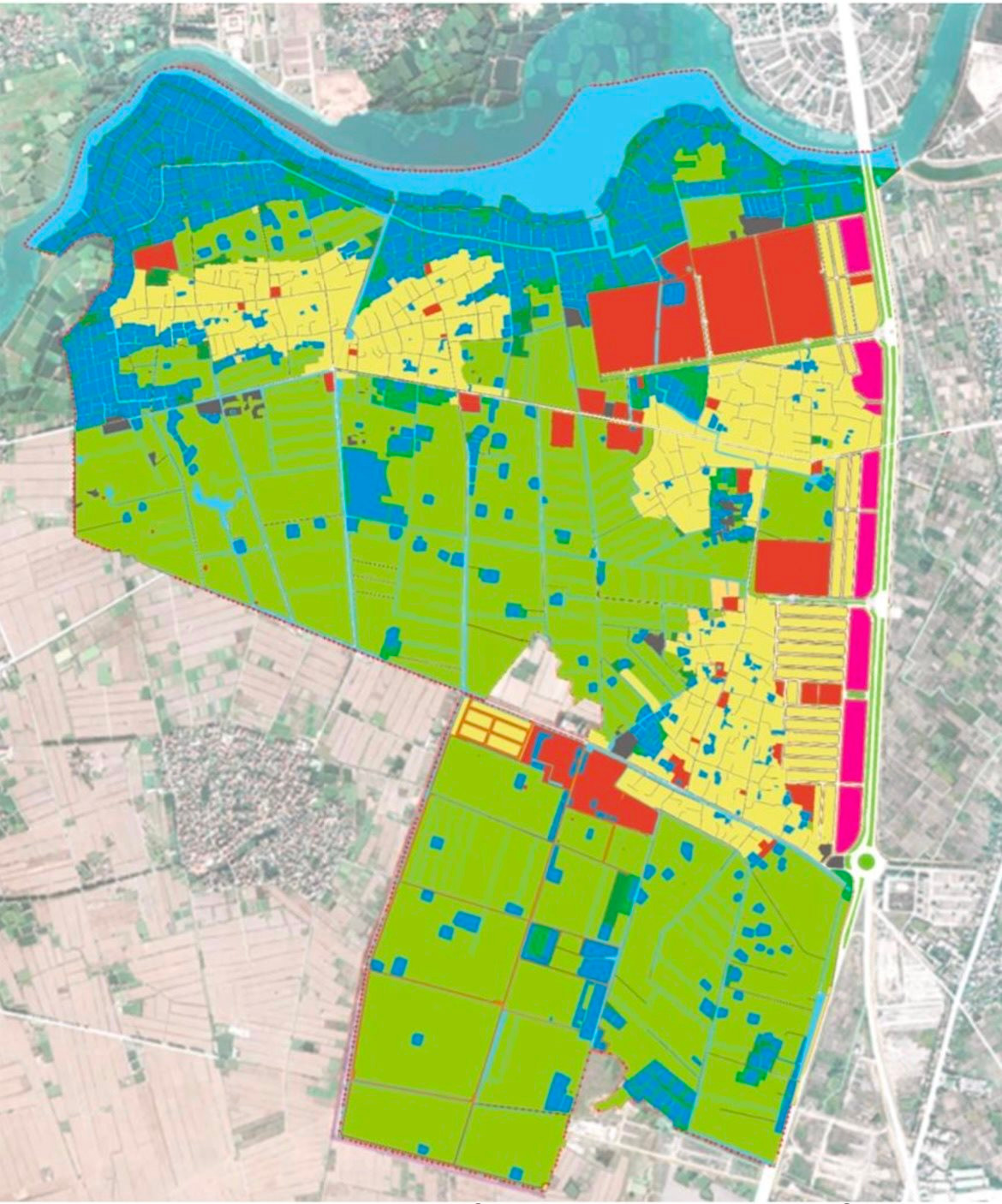
Zone 1 is a medical, cultural and educational area located in the northeast with an area of about 199.85 hectares. The planning inherits and basically maintains the current spatial structure of the residential area and projects that have been and are being invested in construction such as Hai Duong Children's Hospital, Thanh Dong University, the new urban area in the south of Hai Duong City... Here, a concentrated medical land fund has been planned to implement the policy of relocating medical facilities in the inner city such as the Hospitals: Rehabilitation, Traditional Medicine, Ophthalmology and Dermatology... At the same time, attracting investment in new medical facilities. This area also arranges about 3 hectares at the existing dormitory land of Hai Duong University to serve the relocation and construction of the Provincial Political School. Public and cultural land in the west of Thanh Xa village (Lien Hong commune) to relocate a number of cultural facilities of the province and the city such as Hai Duong City People's Theater, Provincial Cheo Theater, Provincial Performing Arts Center. Planning educational land in the west of Hai Duong University. This area also plans new housing groups, social housing, mixed land along the Sat River to exploit the landscape of the Sat River water surface. In addition, this area also arranges public parking lots, expanding traffic directions connecting medical and educational areas with the main road.
The characteristic of the southwestern gateway of the city is zone 2 - an ecological zone with a planning area of over 206 hectares. Here, the direction will be to build a central park and a green space network. At the same time, land funds and mixed-use projects will be planned, with a maximum of 15% of residential land allocated, the rest for services, public...
Zone 3 is oriented towards smart urban development and urban agriculture with a scale of nearly 364 hectares in Phu Trieu and Tang Thuong villages, along Vo Nguyen Giap Avenue, the Institute of Food Crops and Food Plants. In which, the high-rise building axis adjacent to Vo Nguyen Giap Avenue is the main spatial highlight, guiding the green space from the central park of zone 2 into the new space. This zone will retain agricultural land to serve the purpose of research and development of high-quality agriculture.
Zone 4 is the Sat River area with an area of about 110.3 hectares. This area retains the water surface and buffer zone along the Sat River but will transform the landscape space from a natural lagoon into an artificial landscape. Here, a number of high-rise buildings near Lo Cuong Bridge will be planned to create an ecological highlight.
Based on the 3A subdivision planning - Lien Hong area, Hai Duong city builds projects and investment attraction programs. Priority is given to implementing projects of residential areas, new urban areas, medical, service, commercial, public, cultural, sports, parking, and educational areas. Implementing mixed-use projects including urban, service, commercial, golf course along Sat river. Investing in completing the new urban area in the south of Hai Duong city and building the I beltway connecting to Cam Giang district.
PV
.jpg "Hai Duong approved 50 people to quit their jobs according to Decree 178 and 67")
