


.jpg "Real estate market in the south of Hai Duong city is bustling")

.jpg "Extremely dangerous forest fire risk in Kinh Mon, Chi Linh")


-ac017d3d3ce25d3405471795d6bb26f0.jpg "Gia Loc needs over 10 billion VND to invest in renovating and expanding landfills.")


Submit a comment
On April 5, the North is forecast to receive weak cold air, with scattered showers and thunderstorms, locally heavy rain, and beware of tornadoes, hail, and strong gusts of wind.
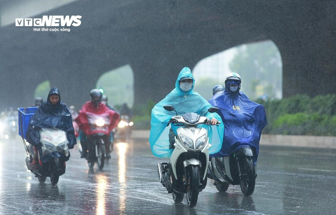
The National Center for Hydro-Meteorological Forecasting said that currently, a weak cold air mass is moving south from the North.
The influence of the weak cold air mass shifting eastward compressing the low pressure trough combined with weak wind convergence above 1,500m, from April 5, the mountainous and midland areas of the North will have scattered showers and thunderstorms, locally heavy rain with rainfall of 15-30mm, in some places over 50mm.
During thunderstorms, there is a possibility of tornadoes, lightning, hail and strong gusts of wind. Localized heavy rain can cause flash floods on small rivers and streams, landslides on steep slopes and flooding in low-lying areas. The weather in the mountainous provinces of the Northeast will turn cooler.
The area from Quang Binh to Thua Thien Hue continues to be hot and extremely hot on April 5-6 with the highest temperature commonly ranging from 35-38 degrees Celsius, some places over 38 degrees Celsius; the Northwest, from Da Nang to Phu Yen, the Central Highlands and the South are hot, some places are extremely hot, the highest temperature is 35-37 degrees Celsius, some places over 37 degrees Celsius.
The heat wave in the area from Quang Binh to Phu Yen will last until about April 7 and gradually decrease from April 8. In the Central Highlands and the South, the heat wave is likely to last for many days to come.
Hanoi has scattered showers and thunderstorms. Southeast to east winds at level 2-3. During thunderstorms, there is a risk of tornadoes, lightning, hail and strong gusts of wind. Lowest temperature 24-26 degrees Celsius. Highest temperature 28-30 degrees Celsius.
In the Northwest, in the evening and at night, there will be showers and thunderstorms in some places, and sunny days. In the Northwest, it will be hot and sunny, with some places experiencing severe heat. Light wind. During thunderstorms, beware of tornadoes, lightning, hail and strong gusts of wind. Lowest temperature 23-26 degrees Celsius, in the Northwest 20-23 degrees Celsius. Highest temperature 29-32 degrees Celsius, in the Northwest 35-37 degrees Celsius, with some places above 37 degrees Celsius.
In the Northeast, there will be scattered showers and thunderstorms, in the mountainous and midland areas, scattered showers and thunderstorms, locally heavy rain. Southeast to east wind level 2-3. In the mountainous areas, the weather will turn cool. During thunderstorms, there will be warnings of tornadoes, lightning, hail and strong gusts of wind. The lowest temperature is 23-26 degrees Celsius, in the mountainous areas, some places below 22 degrees Celsius. The highest temperature is 27-30 degrees Celsius, in the mountainous areas 25-28 degrees Celsius.
Thanh Hoa - Thua Thien Hue in the late afternoon and at night, scattered showers and thunderstorms, sunny days, hot and extremely hot days in the South. Southwesterly winds level 2-3. Thunderstorms are forecast to have tornadoes, lightning, hail and strong gusts. Lowest temperature 23-26 degrees Celsius. Highest temperature in the North 31-34 degrees Celsius, in the South 35-38 degrees Celsius, some places over 38 degrees Celsius.
From Da Nang to Binh Thuan in the evening and at night, there will be showers and thunderstorms in some places, sunny during the day, in the North (Da Nang to Phu Yen) it will be hot during the day, with some places having extremely hot weather. Southeast to south wind level 2-3. During thunderstorms, there is a possibility of tornadoes, lightning, hail and strong gusts of wind. The lowest temperature is 25-28 degrees Celsius. The highest temperature in the North is 35-37 degrees Celsius, some places above 37 degrees Celsius, in the South is 32-34 degrees Celsius.
In the Central Highlands, there will be showers and thunderstorms in some places in the evening and at night. During the day, it will be hot and sunny, with some places experiencing severe heat. Light winds. During thunderstorms, there may be tornadoes, lightning, hail and strong gusts of wind. Lowest temperature 22-25 degrees Celsius. Highest temperature 33-36 degrees Celsius, with some places reaching over 37 degrees Celsius.
In the South, in the late afternoon and at night, there will be showers and thunderstorms in some places. During the day, it will be hot and sunny, with some places experiencing severe heat. Light wind. During thunderstorms, beware of tornadoes, lightning, hail and strong gusts of wind. Lowest temperature 25-28 degrees Celsius. Highest temperature 34-37 degrees Celsius, with some places above 37 degrees Celsius.
TH (according to VTC News)