

.jpg "Hải Dương đầu tư gần 452 tỷ đồng xây dựng, hoàn thiện hồ sơ địa chính và cơ sở dữ liệu đất đai")


.jpg "Hanoi proposes 157 pilot projects to expand land types for commercial housing")

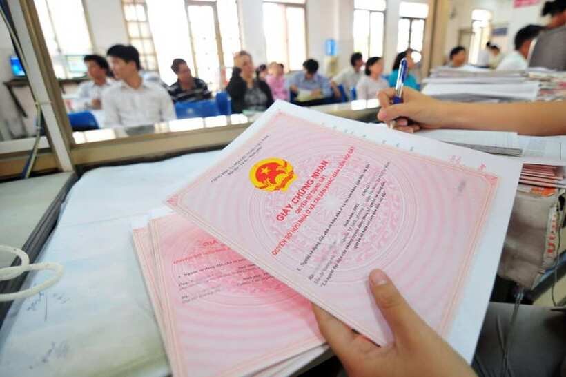
.jpeg "People rush to do real estate procedures before merger")


.jpg "Seized a large amount of processed food without invoices or documents in Hai Duong City")

.jpg "Hai Duong handles 217 traffic violations in the first half day of the holiday")


.png "Podcast News April 30")


.jpg "Mother Buoi has husband and son who sacrificed for the Fatherland")

Submit a comment
The adjustment of land records due to administrative unit rearrangement must be synchronized with the settlement of administrative procedures on land and assets attached to land to avoid congestion and create maximum convenience for people and businesses.
On April 17, the Ministry of Agriculture and Environment said it had just sent a document to the People's Committees of provinces and cities, providing detailed instructions on adjusting cadastral records, land databases and synthesizing natural area data when the whole country is rearranging administrative units at all levels.
Accordingly, localities need to urgently review and fully edit documents such as: cadastral maps, land inventory books, cadastral books and land use right certificates in each locality.
The process of editing the above documents must be carried out in parallel with updating land data to ensure accurate and timely information to serve state management and the needs of people and businesses.
Along with that, the Ministry of Agriculture and Environment noted that the adjustment of land records due to the rearrangement of administrative units must be synchronized with the settlement of administrative procedures on land and assets attached to land to avoid congestion and create maximum convenience for people and businesses.
The Ministry also mentioned specific regulations on how to determine the central meridian, map sheet numbers and how to record administrative boundary information after arrangement. In case of changes, localities must proactively adjust maps, books and databases in accordance with legal regulations.
Regarding the preservation and handover of land records, localities need to direct the review and complete inventory of records, books and paper documents currently stored, and prepare for handover to the new administrative unit to avoid loss of documents and ensure continuity and transparency in management.
For land use right certificates and property ownership certificates attached to land established by the district level, localities, immediately after arranging administrative units, need to quickly hand them over to the land registration office branch for storage and reference when necessary.
With electronic land records, localities continue to manage and operate land databases stably, ensuring good service for people and businesses.
Regarding the area data of administrative units after the rearrangement, localities will base on the results of the 2024 land inventory to ensure objective and complete reflection of the current status of land management and use in the locality.
In that spirit, the People's Committees of provinces and centrally-run cities seriously deploy and direct synchronous and timely implementation; localities proactively coordinate with the Ministry of Agriculture and Environment to promptly remove difficulties and obstacles in the implementation process.
TB (summary)

