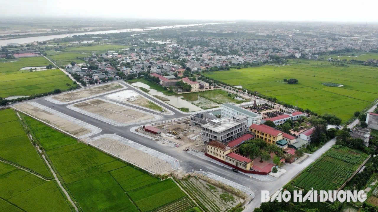
Hai Duong Provincial People's Committee has decided to deploy cadastral mapping, land registration, construction of cadastral database and issuance of agricultural land use right certificates in the province.

Deployment and organization of implementation of cadastral surveying and mapping activities for agricultural land in 12 districts, cities and towns (191 communes, wards and towns) in the province with the expected scope and volume at each administrative unit at district and commune levels according to cadastral map data for agricultural land managed by the Land Registration Office.
Accordingly, the expected volume of land surveying, mapping, land registration, and granting of agricultural land use right certificates in the province is nearly 2.1 million plots, with a total area of 119,385.53 hectares.
Time for preparation, approval, proposal of investment policy, tasks, project preparation, preparation, approval of technical design - estimate of surveying and mapping activities of agricultural land in July 2025.
Select contractors to construct, deploy, and carry out cadastral surveying and mapping activities; register land, build cadastral databases, and issue agricultural land use right certificates in the province, to be completed in 2027.
The establishment of cadastral maps, land registration, construction of cadastral databases and issuance of certificates of agricultural land use rights in the province aims to serve the work of building a centralized, unified, synchronous, modern and effective land information system; improve the effectiveness and efficiency of management work, strengthen administrative procedure reform and carry out digital transformation...
BANK