


")

-d0772b57e88f948e139a9a67176fefdf.jpg "Forecast: Hai Duong is about to welcome the return of cold air")


.jpg "Kim Thanh reclaims more than 234 hectares of land to build an industrial park")


.jpg "Binh Giang's first quarter budget revenue reached nearly half of the province's annual target.")
.jpg "Early spring tea")
Submit a comment
It is forecasted that around June 23-24, a low pressure area will form in the East Sea, with a 65-75% probability of strengthening into a tropical depression. Heat waves in the North and Central regions will decrease.
On June 21, Mr. Nguyen Van Huong, Head of Weather Forecast Department, National Center for Hydro-Meteorological Forecasting, said that a low pressure trough with a Northwest - Southeast axis is forming in the northern and central East Sea.
"According to our assessment, around June 23-24, a low pressure area is likely to form on this low pressure trough. The low pressure area has a 65-75% probability of strengthening into a tropical depression.
With the development of climate laws in this period, when the low pressure area strengthens into a tropical depression, it will have two directions of movement: the possibility of entering mainland China, or the possibility of entering the Gulf of Tonkin, and the possibility of affecting mainland Vietnam.Mr. Huong said.
According to Mr. Huong, the appearance of a low pressure trough with a Northwest - Southeast axis also causes changes in the weather in the provinces and cities in the North. The Southeast wind has weakened the low pressure area in the West. In the coming time, the heat in the North and Central regions will tend to decrease.
"From June 22 onwards, the heat will gradually ease and from June 23 onwards, the heat in the North will likely end, and in the Central region it will cool down significantly."Mr. Huong informed.
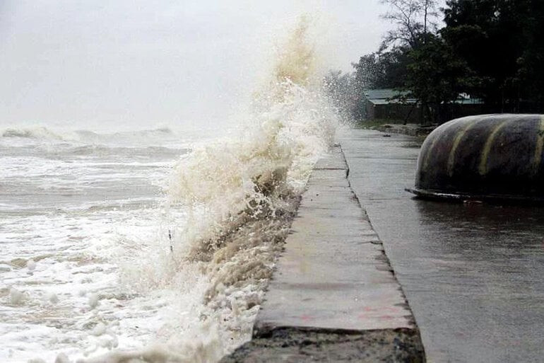
In addition, the impact of the low pressure trough and the low pressure area that is likely to strengthen into a tropical depression will cause bad weather at sea.
According to information from the National Center for Hydro-Meteorological Forecasting, currently, the central and southern East Sea (including the waters of the Truong Sa archipelago), the waters from Quang Ngai to Ca Mau, Ca Mau to Kien Giang, and the Gulf of Thailand are experiencing showers and thunderstorms.
It is forecasted that showers and thunderstorms will continue to occur in the above areas during the day and night of June 21. During thunderstorms, there is a risk of tornadoes and strong gusts of wind of level 7-8. Beware of wave heights that may rise above 2.5m at times.
The sea area from Binh Thuan to Ca Mau and the southern East Sea (including the sea area of Truong Sa archipelago) has strong southwest wind level 5, sometimes level 6, gusting to level 7-8, rough sea, waves 1.5-3m high.
VN (according to VTC News)


.jpg "Hai Duong's agricultural, forestry and fishery value increased by 7.51% in the first quarter.")