


-a9f705f0fc2bb442b889e7ca8cfb4e9f.jpg "See detailed retirement age table")
.png "Roll call of 84 provincial cities when district level is abolished")
.jpg "Harm others, blame yourself for giving the car to a child")


.jpg "Special cooperative")
.jpg "Baidu Releases AI Model Competing with DeepSeek for Free")
.jpg "French President strongly declares sending troops to Ukraine")
.png "Vietnam faces 'not rich yet old'")

.jpg "How long do you have to work at a company to get pregnant?")


.jpg "Health sector completes measles vaccination campaign in March")
Submit a comment
Due to the influence of cold air, the northeast wind in the North East Sea is gradually becoming stronger.
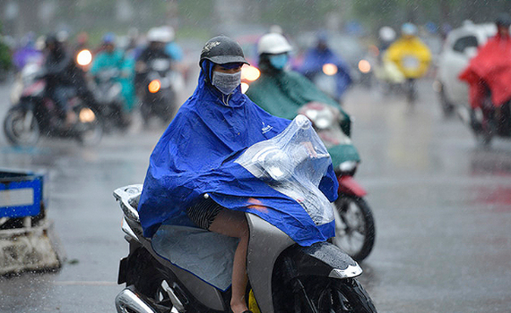
According to the National Center for Hydro-Meteorological Forecasting, today, October 20, the cold air mass continues to move eastward to the south. Due to the influence of the cold air mass, the northeast wind in the North East Sea is gradually becoming stronger.
Today and tonight, the western sea area of the North East Sea (including the waters of the Hoang Sa archipelago), the central East Sea area, the southern East Sea area (including the waters of the Truong Sa archipelago), the sea area from Quang Tri to Ca Mau, Ca Mau to Kien Giang and the Gulf of Thailand will have scattered showers and thunderstorms.
On land, the Northeast, North and Central Central regions, and the Southern Central Highlands will have scattered showers and thunderstorms. In particular, the area from Thanh Hoa to Thua Thien Hue will have moderate rain and thunderstorms at night; locally heavy rain with rainfall from 10-40mm, in some places over 80mm.
The Southern region has scattered showers and thunderstorms, locally heavy rain with rainfall from 15-30mm, some places over 70mm (rain mainly concentrated in the afternoon and evening).
Thunderstorms may cause tornadoes, lightning and strong gusts of wind. Localized heavy rain may cause flooding in low-lying areas; flash floods in small rivers and streams; and landslides on steep slopes.
TB.jpg "The Standing Committee of the National Assembly Party Committee gave opinions on some contents on the arrangement and streamlining of the apparatus.")
