

.jpg "Dự báo lũ các sông ở Hải Dương tiếp tục lên nhanh")


.jpg "Cục Dự trữ Nhà nước khu vực Hải Hưng sẵn sàng cấp xuất hàng hóa khi có lệnh để ứng phó bão số 3")
Submit a comment
As of early this morning, September 11, Hai Duong City has not had any dike incidents.
Currently, the dike system of Hai Duong city is safe and there are no incidents.
Hai Duong City currently manages 3 dike routes with a total length of 31,786 km. Of which, the Thai Binh right dike route is 15,234 km long, the Thai Binh left dike route is 15,215 km long and the Lai Vu right dike route is 1,337 km long.
The city currently has 54 pumping stations.
Hai Duong City is ready with plans to respond to floods and protect the entire dike system; plans to respond to floods exceeding the design frequency; key plans to protect Thuong Dat embankment; key plans to protect Tien Tien sluice.
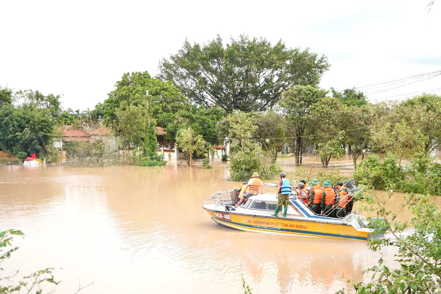
On the morning of September 11, according to a quick report from Hai Duong City, the water level in the riverbank on the left and right of Thai Binh River (in the wards and communes of Viet Hoa, Cam Thuong, Binh Han, Nhi Chau, Ngoc Chau, Hai Tan, Ngoc Son, An Thuong, Nam Dong, Tien Tien) has flooded and is rising. At the time of reporting, the water level of Thai Binh River flooded the bank on average 2-2.5m; about 1.3-1.5m from the dike surface. Flood level in the riverbank on the right of Lai Vu(Ai Quoc ward) has flooded and is rising. The water level at Au Thuyen sluice is 3.8 m, about 1 m higher than that of the Sat River.
Forces in Hai Duong city regularly inspect and monitor the status of dikes; increase patrols and guard to protect dikes according to regulations.
PV