

 tan hoang sau siêu bão Milton")


 thổi bay bốt an ninh, cửa cuốn ở Trung Quốc")

")

-d0772b57e88f948e139a9a67176fefdf.jpg "Forecast: Hai Duong is about to welcome the return of cold air")


.jpg "Kim Thanh reclaims more than 234 hectares of land to build an industrial park")


.jpg "Binh Giang's first quarter budget revenue reached nearly half of the province's annual target.")
.jpg "Early spring tea")
Submit a comment
Climate change and the rapid transition from El Nino to La Nina cause ocean and atmospheric temperatures to rise, creating conditions for super typhoons to form.
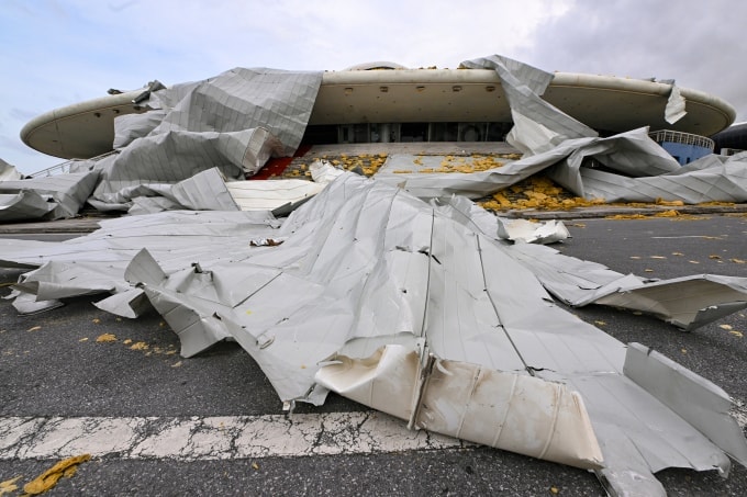
In 2024, the world will see many super typhoons (maximum wind speed of 201 km/h or more, level 16) such as typhoon No. 3 (typhoon Yagi) in the East Sea and making landfall in Vietnam, down about 2-3 levels; Gaemi, Krathon in China; Helene and Milton in the US one after another. Compared to previous years, the number of super typhoons is unusually high.
Mr. Truong Ba Kien, Deputy Director of the Center for Meteorological and Climate Research, Institute of Meteorological, Hydrological and Climate Change, explained that the main cause of the appearance of many super typhoons and strong storms is climate change, which increases the temperature of both the ocean and the atmosphere. Warmer sea water will provide more water vapor and energy for weather systems, leading to more and stronger storms.
Citing the 6th report of the Intergovernmental Panel on Climate Change, Mr. Kien said that if the global temperature increases by 1 degree Celsius, the destructive power of storms will increase by an average of 40%. In fact, compared to the pre-industrial period, the global temperature has increased by 1.3 degrees Celsius, so sudden storm surges are becoming more common.
"Like storm Geami, Yagi strengthened rapidly. Most recently, storm Milton increased from level 1 to 5 on the US hurricane intensity scale in just 24 hours. The storm became a hurricane with winds of 285 km/h, in the top 5 strongest storms in the Atlantic Ocean," said Mr. Kien. In the top 5 strongest storms, there are 3 storms from 2005 to the present.
Climate change also reduces vertical wind shear (the change in wind speed or direction with altitude) along the Atlantic coast of North America and the Pacific coast of Asia, according to Mr. Kien. The greater the vertical wind shear, the greater the ability to reduce the intensity of storms.
The next cause given by the Institute of Meteorology, Hydrology and Climate Change is the rapid phase transition from El Nino to La Nina in the central and eastern equatorial Pacific. This leads to an imbalance in ocean heat and moisture, increasing the energy supply for the formation and development of tropical storms.
This August was the hottest month on record, and September the second hottest. Despite the forecast of 2024 being a La Nina year, sea surface temperatures are still warmer than average for many years. "This is an anomaly that contributes to providing heat and moisture for super typhoons," said Mr. Kien.
Mr. Kien cited that 1997 was a strong El Nino year, with 31 storms in the Northwest Pacific, including 10 super typhoons. In 1998, La Nina had 26 storms, including 7 super typhoons, the largest of which was Typhoon Zeb, which hit the Philippines and Taiwan.

Sharing the same view, Mr. Mai Van Khiem, Director of the National Center for Hydro-Meteorological Forecasting, said that the ENSO phase change (from El Nino to La Nina) and climate change are the two main causes leading to the appearance of many strong storms.
"We have witnessed an abnormality in the global average temperature from January to August, which is about 0.7 degrees Celsius higher than the average of the period 1991-2020. In the future, the number of strong storms will increase, for example, storms of the CAT 4-5 threshold (wind speed greater than 200 km/h, level 17) will increase," Mr. Khiem commented.
More super typhoons will have serious impacts on people, infrastructure and the environment. To reduce risks, Vietnam needs to build response measures, manage natural disaster risks and adapt to climate change right now.
VN (synthesis)


.jpg "Hai Duong's agricultural, forestry and fishery value increased by 7.51% in the first quarter.")