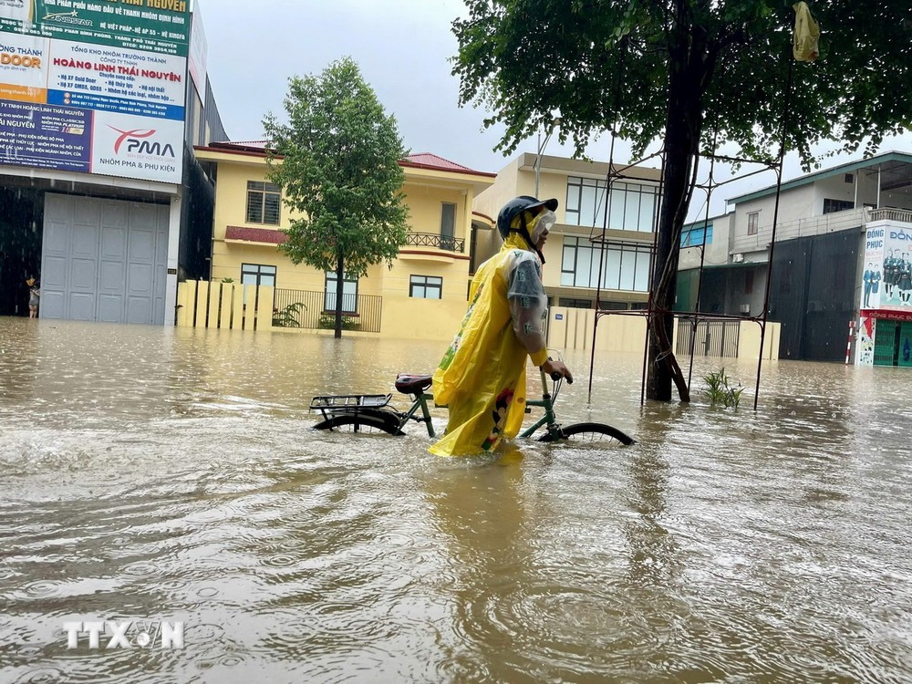
It is forecasted that in September, dangerous weather phenomena such as storms and tropical depressions are likely to cause strong winds and large waves affecting activities in the East Sea area.

Commenting on weather patterns in September 2024, on the morning of September 1, Deputy Head of the Climate Forecast Department, National Center for Hydro-Meteorological Forecasting Nguyen Duc Hoa said that in September, storm and tropical depression activities in the East Sea and affecting Vietnam's mainland are likely to be at a level approximately equal to the average of many years in the same period (the average of many years in the East Sea is 2.4 storms; the average of many years making landfall is 1.2 storms).
The average temperature across the country is generally 0.5-1 degrees Celsius higher, and in some places higher than the average of many years during the same period.
Heat waves are still likely to appear in the Central region, but the intensity will not be severe, long-lasting and concentrated in the first half of September.
Total rainfall in Lai Chau, Dien Bien, provinces and cities from Ha Tinh to Binh Thuan, the Central Highlands and the South is generally 5-20% higher than the average of many years; other areas are generally 20-30% higher than the average of many years in the same period.
“In September, there will be many days of rain, showers and thunderstorms nationwide, including the possibility of some widespread moderate and heavy rains. The rainy season in the Central region is likely to be close to the average of many years from around mid-September,” noted Deputy Head of the Department Nguyen Duc Hoa.
Mr. Nguyen Duc Hoa said dangerous weather phenomena such as storms, tropical depressions, southwest monsoons, thunderstorms, and tornadoes at sea can cause strong winds and large waves that affect activities in the East Sea area.
Severe thunderstorms accompanied by tornadoes, lightning, hail and strong gusts of wind can greatly affect production and people's activities. The heat in the Central region continues to pose a high risk of fire and explosion.
To proactively respond and reduce damage to the above weather patterns, people need to regularly monitor forecast and warning information on the website of the National Center for Hydro-Meteorological Forecasting at nchmf.gov.vn, provincial, municipal and regional Hydro-Meteorological Stations; at the same time, regularly update the latest hydro-meteorological forecast information on the official mass media of the Central and local levels to proactively respond.
The government and relevant agencies must promptly provide disaster forecast information to the people, mobilize, propagate and implement an absolute ban on people's activities in areas at high risk of thunderstorms, tornadoes, lightning and hail.
People need to strictly follow the instructions of local authorities on disaster response and prevention.
VN (according to VNA)