

.jpg "Bão Trami gây ngập lụt và mất điện diện rộng tại Philippines")


.jpg "Reading culture in the digital age")


.jpg "What to see in Hai Duong newspaper on April 21?")


-a9f705f0fc2bb442b889e7ca8cfb4e9f.jpg "Prime Minister directs early payment of pensions in May")


.jpg "Parishioners joyfully celebrate Easter at Hai Duong Church")


Submit a comment
It is forecasted that after entering the East Sea, storm Trami will move mainly in a westerly direction. After passing the Hoang Sa archipelago, the storm is likely to change direction to the southwest and move more slowly.
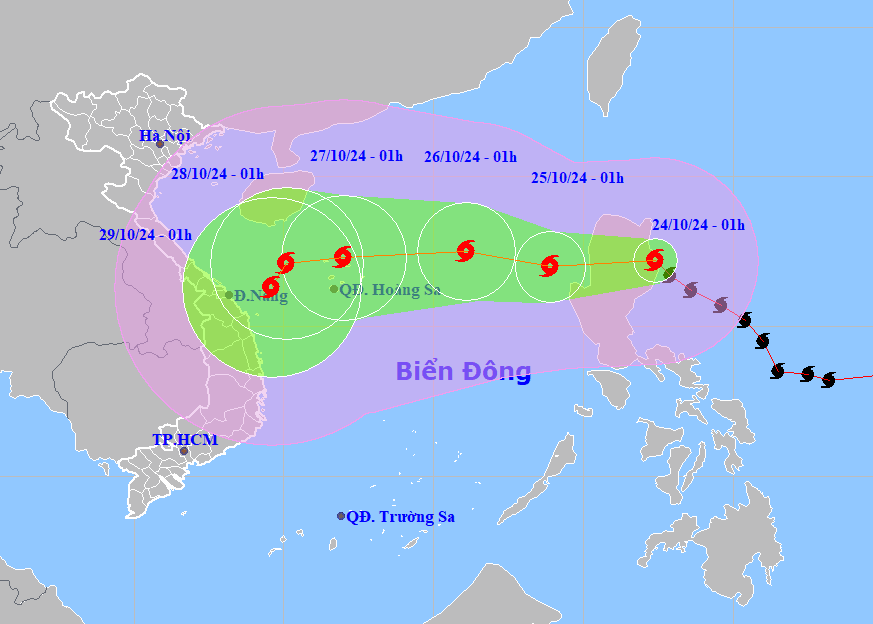
According to the National Center for Hydro-Meteorological Forecasting, at 1:00 a.m. on October 24, the center of storm Trami was at about 17.2 degrees north latitude, 122.4 degrees east longitude, on the mainland east of Luzon Island (Philippines).
The strongest wind near the storm center is level 9-10 (75-102km/h), gusting to level 12. Moving west-northwest, speed 15-20km/h.
Forecast of storm Trami fromNext 24 to 72 hours:
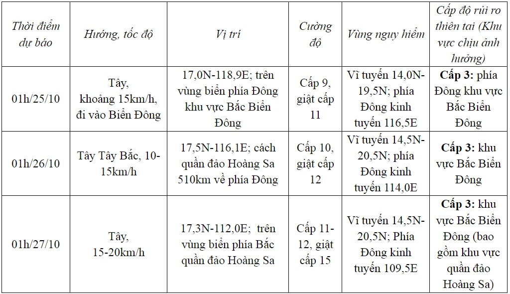
From 72 to 120 hoursNext, the storm will move mainly west, at 10-15km per hour, then it may change direction to southwest and move more slowly.
Due to the influence of the storm, the eastern sea area of the northern East Sea has strong winds of level 6-7, the area near the storm's eye has winds of level 8-9 (62-88km/h), gusts of level 11, waves 3-5m high, the area near the storm's eye has waves of 5-7m, very rough seas.
Ships operating in the above mentioned dangerous areas are likely to be affected by storms, whirlwinds, strong winds and large waves.
VN